STOKE NEWINGTON,
A LECTURE, by THOMAS JACKSON, M.A.,
Rector of Stoke Newington, and Prebendary of St. Paul's.
Published by: BELL AND DALDY, FLEET STREET, LONDON
Sold by: CHARLES MILLER of CHURCH STREET, STOKE NEWINGTON.
ADVERTISEMENT.
This Lecture was delivered before the Stoke Newington Literary and Scientific Society; and is published at the request of many who heard it. It has not been thought desirable to encumber it with a long array of foot-notes and authorities. Prepared amidst many pressing avocations, it is commended with much humility to the candour and patience of the reader.
RECTORY, May 3rd, 1855.
Extract
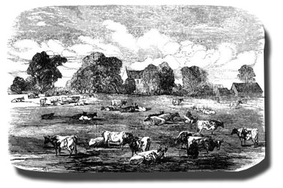
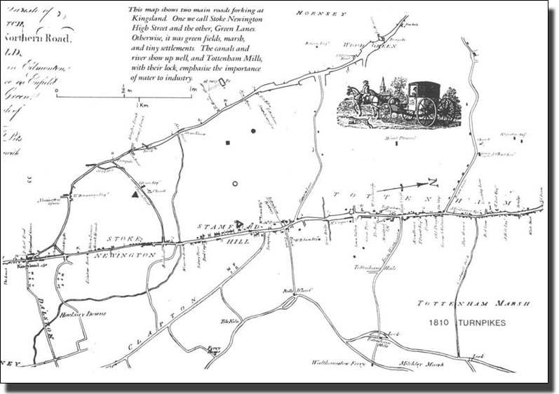
Much might be said concerning our educational institutions and the means of religious instruction; much concerning the longevity of the people, and the relative proportions of rich and poor, of men and of women; much concerning the New River, which meanders through the parish, and adds so much to its picturesque beauty; but I must forbear.
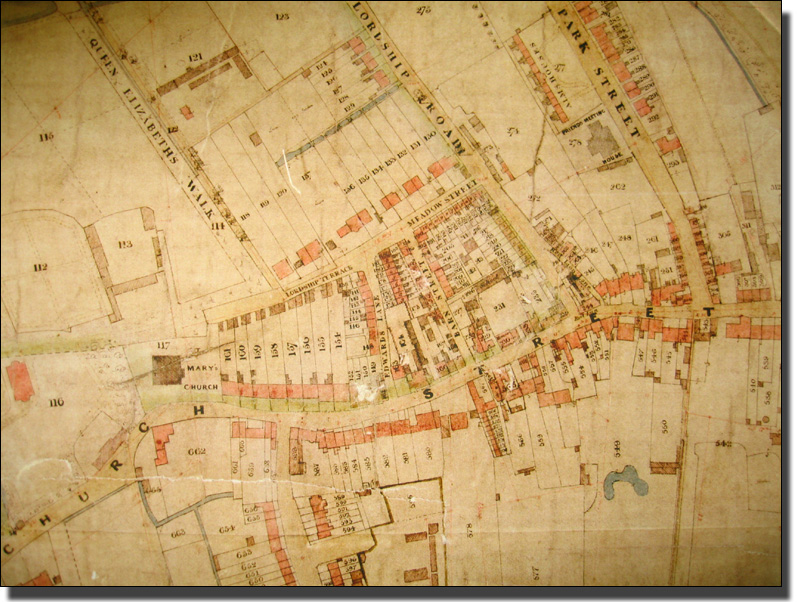
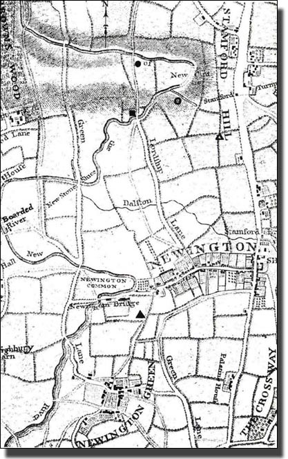
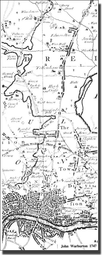
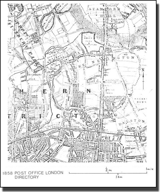
On the future however, of our increasing neighbourhood, one cannot help pausing a moment to speculate. It is said that in North America, the line of civilization stretches further and further into the west at the rate of fifteen miles a year. The remotest backwoodsman, who now stands on the frontier of civilized life, finds himself twelve months hence fifteen miles within the boundary. The progress of London, the Babylon and Nineveh of modern times, is scarcely less rapid and remarkable. There are persons yet living who remember the erection of Finsbury Square, upon what was then the northern limit of the town. Others have heard their fathers speak of the wall in front of Old Bedlam, and the cherry trees that grew in Broad Street and London Wall. Now the south of Stoke Newington may be regarded as within the capital. The meadows and cornfields of Kingsland are no more; they are covered with lines of busy and well inhabited streets. The tide of population is scarcely arrested by the uplands of Highbury Hill; once the seat of a Roman summer camp; and threatens to reach the confines of Hornsey, and invade the quiet hill-top of Crouch End. When will our green fields be finally absorbed? When will Lordship Road be covered with villas, to be, as time rolls on, gradually deteriorated, till they are joined by intervening houses, and broken into shops? An ancient prediction foretells, that
The good luck of this kingdom
Shall never be undone,
Till Highgate Hill stands
In the middle of London." |
Whether or not that mystic prophecy will ever be literally fulfilled we forbear to guess; but we offer the fervent prayer, that our fair and happy village may be more than ever distinguished for the virtue, tile healthfulness, and longevity of its inhabitants ; for the efficiency and completeness of its educational institutions, for its ample supply of the means of grace, according to the conscientious convictions of the people; for every thing that is Honourable and true, pure and lovely, and of good report.
MARCHANT SINGER & Co., Printers, Ingram Court.
|